7 Day Training On Unmanned Aerial Vehicle Or Drone Technology And GIS/ GPS Applications
The Centre for Professional Development, Ghana Communication Technology University is inviting the general public to a 7 day training on Unmanned Aerial Vehicle or Drone Technology and GIS/GPS Applications.
Course Overview
Organizations around the word are leveraging their information technology (IT) investments by integrating mapping and geographic information system (GIS) technology. This course will provide participants essential knowledge base in GIS.
As executives, you need the best tools to be able to
- Make informed decisions
- Know where, when, why and how to take action
- Share your knowledge with others and visualize data in ways simply not possible in the rows and columns of a spreadsheet.
Topics To Be Covered
This includes but not limited to
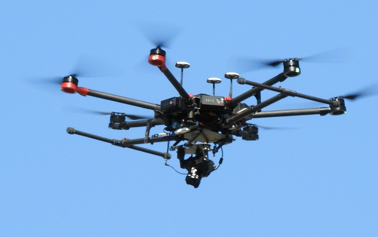
- UAV Aircraft General Knowledge
- UAV Meteorology
- UAV Communications
- UAV Air Law
- Introduction to GPS
- Preparation for field on UAV
- UAV Flying
- Downloading of UAV Data into software
- Introduction to GIS
- GIS Application
Date: 18th October- 26th October, 2021
Time: 9:00am-3:00pm
Venue: Ghana Communication Technology University, Tesano-Accra
Fees: Affordable (Fees includes Tuition, Course materials, Practicals, Certificate and Meals
WHO SHOULD ATTEND
Managers, Chief Executive, IT Professionals, Planners in Transport, Media, Telecommunication, Real estate, Local Government, Defense, Marketing, Banking, Education, Utility (Water, Electricity) industry workers, Mining, Oil exploration, Health, Insurance, etc.
CONTACT:
For application forms or further information, kindly contact the CPD on: Tel: 0302200606 / 0556511788 / 0202698359
cpd@gctu.edu.gh / ahackman@gctu.edu.gh / vagbugblah@gctu.edu.gh